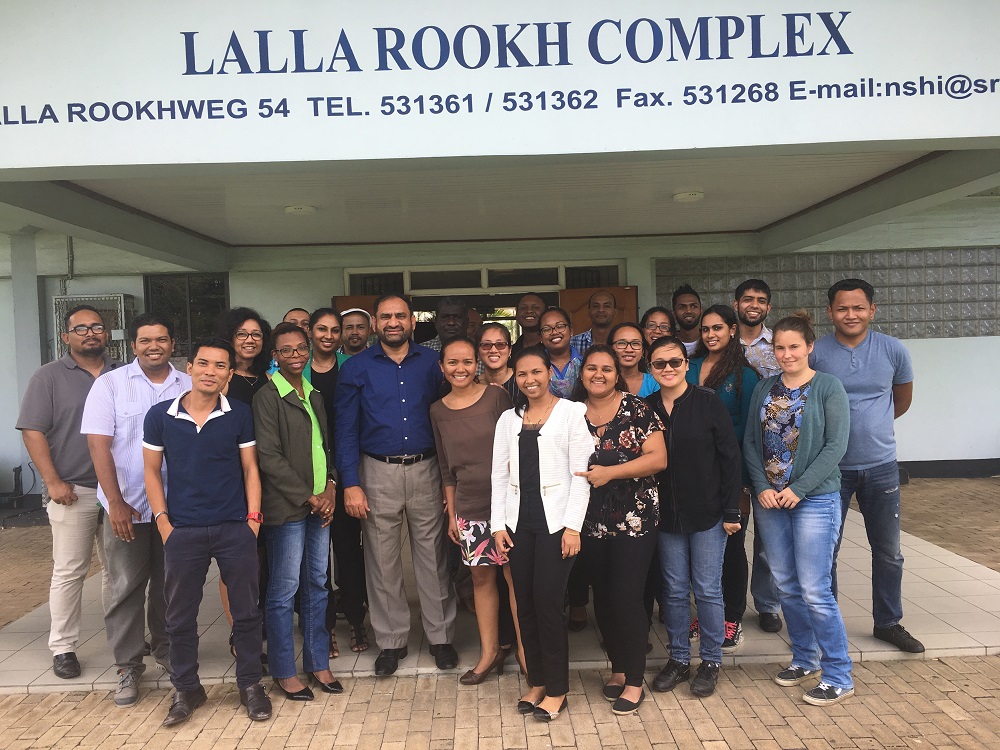
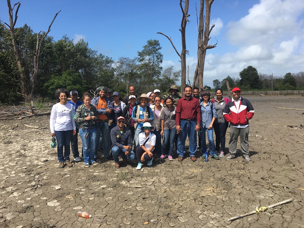
SESRIC organised a Training Course on “Environmental Sensitivity Mapping in Suriname” within the framework of the Environment Capacity Building Programme (Environment-CaB) on 15-17 March 2017 in Paramaribo, Suriname. The training course mainly focused on the following topics: SESRIC organised a Training Course on “Environmental Sensitivity Mapping in Suriname” within the framework of the Environment Capacity Building Programme (Environment-CaB) on 15-17 March 2017 in Paramaribo, Suriname. The training course mainly focused on the following topics:
-
Introduction of Environmental sensitivity mapping (ES MAP)
-
ES Maps: A History
-
Technology Enhances ES Maps
-
Color Copiers and Database Improvements
-
Geographic Information System Technology
-
ES Maps Guidelines
-
ES Maps Today
-
Environmental Mapping
-
Transformations in Coastal Mapping: 1987 - 2007
-
Controlling the Imagery
-
The Way It Is…
-
Photographing the Coast
-
The Way It Was…
-
Mapping and Delivering the Shoreline
-
A Vision for Coastal Ecosystem Research
-
stuaries: Where Land and Water Intertwine
-
Sanctuaries: Marine Parks
-
Coral Reefs: Rainforests of the Sea
-
Coastal Oceans
-
Introduction to Geographical Information System (GIS )
-
What is GIS
-
What is Remote Sensing
-
Simple Definition
-
Features of the GIS
-
Vector (Feature) Data
-
Raster
-
What makes data spatial
-
Why is GIS Important
-
History of GIS
-
Components of a GIS
-
Soft wares
-
Tools (functions) in GIS
-
How GIS Works
-
GIS Applications:
-
Can I Use This in My Discipline?
Photos
|